Marketplace.
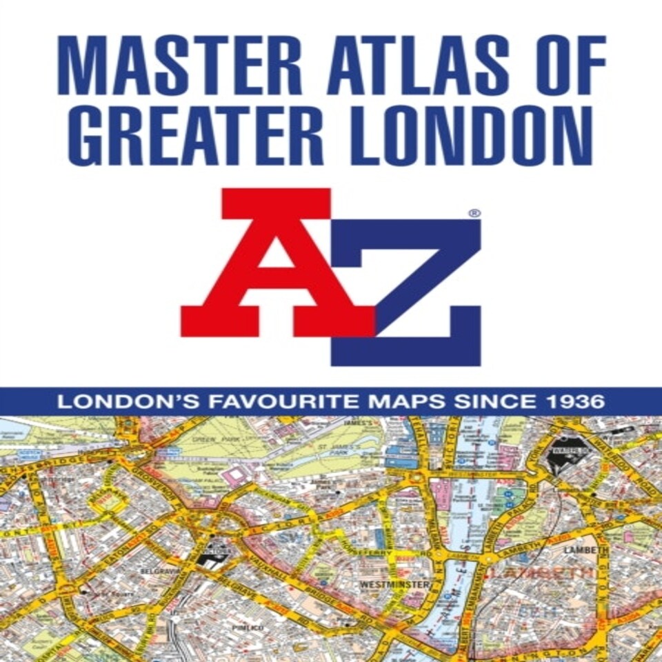
A -z Master Atlas Of Greater London
£18.98
£18.98/each
Sold and sent by Speedyhen
Delivered by post or courier
Delivery
- FREE standard courier delivery by Mon 11 Aug
Returns
Returns available within 30 days.
A -z Master Atlas Of Greater London
£18.98
£18.98/each
Description
The ultimate street atlas to navigate your way around London.A comprehensive paperback street atlas of London encompassing an area of 1,450 square miles with coloured street mapping, and including more than 90,000 streets and other addresses.The coverage extends beyond the Greater London and M25 area to: Hemel Hempstead, St. Albans, Potters Bar, Waltham Cross, Epping, Brentwood, Thurrock, Stanford-le-Hope, Gravesend, Wrotham, Sevenoaks, Westerham, Oxted, Redhill, Reigate, Leatherhead, Great Bookham, Woking, Egham, Windsor, Slough, Chalfont St. Peter, Chorleywood, BovingdonThere are eighteen pages of large scale (9" to 1 mile) street mapping of central London which gives additional clarity and detail, this mapping extends to: Regent''s Park, St. Pancras International Station, Old Street, Tower Bridge, Bricklayer''s Arms Junction, Vauxhall Bridge, South Kensington, Paddington Station and Lord''s Cricket Ground.Postcode districts and one-way streets are included on the street mapping.Other features include:• The Congestion Charging Zone (CCZ) boundary which is shown on both scales of mapping and an overview map of the zone is also included.• The Greater London Low Emission Zone boundary is shown on the street mapping and an overview map of the zone is also included.• The Ultra Low Emission Zone (ULEZ) boundary• There are eight pages of road mapping at 3 miles to 1 inch that cover much of the Home Counties area.• London Underground map.• London Rail Connections map.• West End Cinema and Theatre maps.The index section of the atlas includes streets, places & areas, hospitals, industrial estates, selected flats & walkways, service areas, stations and selected places of interest. Please note hospitals and rail stations are now listed in the main index and highlighted in different colour. They are not included as a separate list as in previous editions.
Sold by Speedyhen (Speedy Hen LTD)
| Author | A-z Maps |
|---|---|
| Format | Paperback |
| ISBN-13 | 9780008513689 |
| Item Height | 2.5 |
| Item Length | 21.1 |
| Item Width | 29.6 |
| Publisher | Harpercollins Reference |
Delivery
- FREE standard courier delivery by Mon 11 Aug
Returns
Not happy with a Marketplace item? You can request a return and refund online up to 30 days after the delivery date. You'll need to return the item to the Marketplace seller.Our returns policy
About Marketplace
We're giving you more choice than ever before. Shop more products from more brands across homewares, beauty, electricals and much more.
Sold and sent by trusted sellers right to your door.
No reviews yet
Help other customers like you
Reviews are submitted by our customers directly through our website. We also share reviews from other retailers' websites to help you make an informed decision.
Write a review